All the Places I’ve Hiked in Northern California
Published:
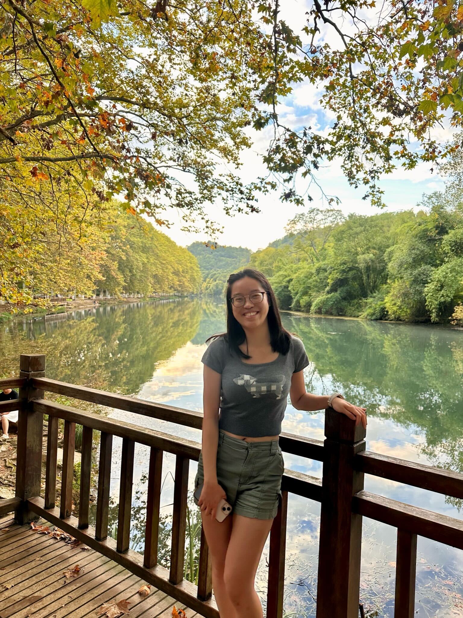
People often associate the Bay Area with its bustling tech culture, but one of its greatest treasures is the natural world surrounding it. Over the past few years, I’ve spent many weekends chasing ocean views, creeks, ridgelines, and post-hike meals with friends. Here are some of my favorite hikes in the Bay Area and beyond, loosely ranked according to a metric I just made up: the view-to-strenuousness ratio. This guide will be a personal documentation of some of my favorite memories during my college years and a reminder of how beautiful the world is. Hopefully it can also be a helpful guide for anyone looking for places to hike in Northern California!
Yosemite (September 2025)
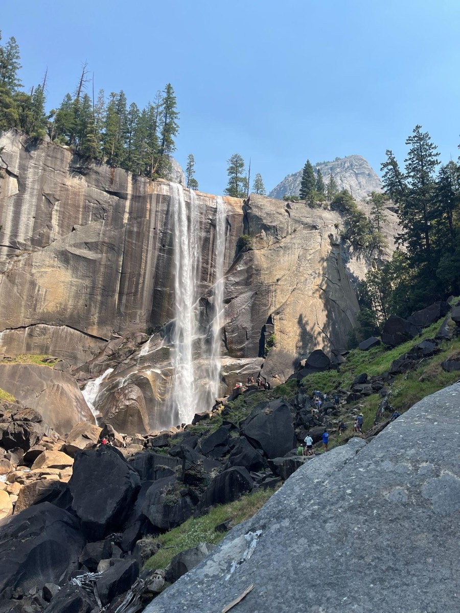
Yosemite is unquestionably my favorite hiking destination on this list. With trails for hikers of every level, it offers some of the most breathtaking landscapes I have ever experienced. We hiked half of the Upper Yosemite Falls Trail on our first day—a strenuous climb, but one rewarded by a sweeping view over Yosemite Valley. The next day, we took on the classic Mist Trail, another exhausting but unforgettable seven-hour hike. The pizza at Curry Village afterward remains some of the best I’ve ever had. These were among the most challenging hikes I’ve done, but the views felt all the more special for having been earned!
Mt. Tamalpais (August 2024)
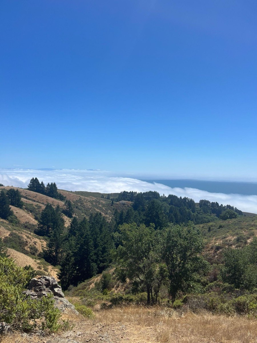
If you want to be above the clouds—literally—hike Mt. Tamalpais. If you want ocean views, forests, creeks, or a post-hike swim in the sea, hike Mt. Tamalpais. It has everything I look for in a hike: stunning views, plenty of shade, and a shifting landscape that keeps you curious about what lies around the next turn. The trailhead is right next to Stinson Beach, where we parked, making it easy to turn the hike into a full day trip with an afternoon at the beach.
Pinnacles National Park (January 2026)
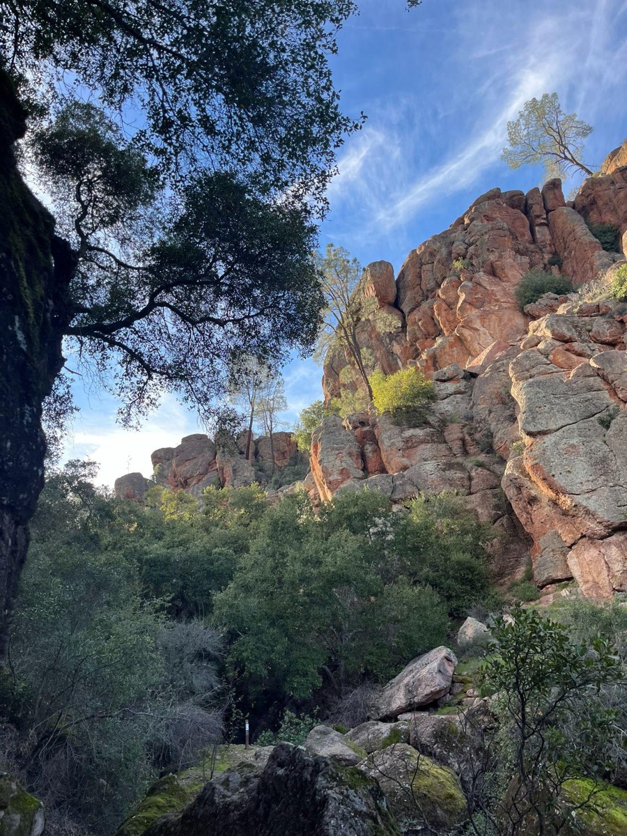
Pinnacles is a national park for a reason! The landscape changes constantly, from caves and lakes to dramatic rock formations. At several points, we had to make our way through dark caves with water dripping from above—thrilling, and unlike anything I had experienced on a typical Bay Area hike. Two tips: bring a flashlight and arrive early. We got there at 2 p.m. and waited nearly an hour just to enter the park.
Del Valle Regional Park (January 2025)
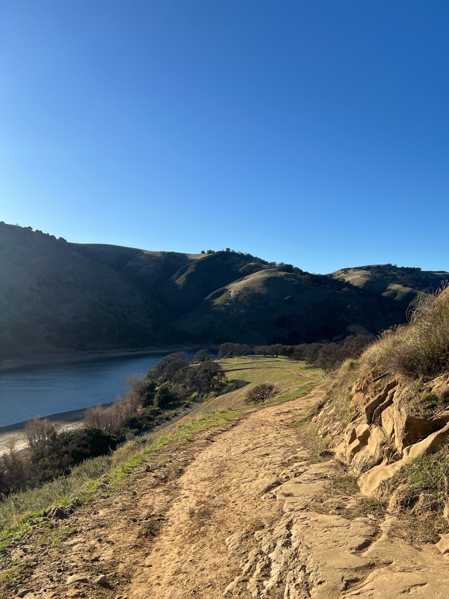
Del Valle Regional Park is east of Fremont, less than a two-hour drive from Stanford. The trail winds through the hills around Lake Del Valle, revealing more and more of the water as you climb. I went in January and found it beautiful even then, though I imagine it would be especially lovely in the spring.
Big Rock Hole Loop (August 2025)
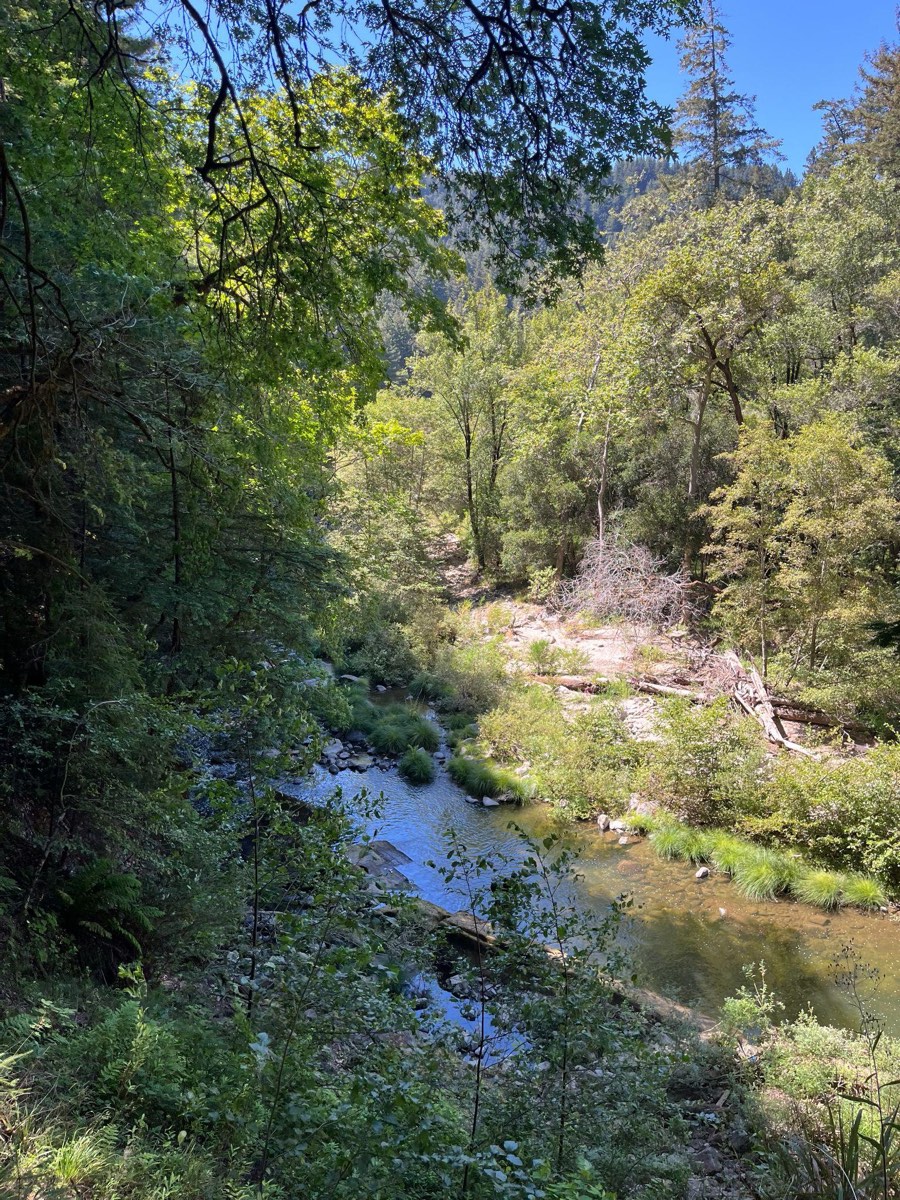
Big Rock Hole Loop was one of the most unexpected hikes I’ve done. Located in the Santa Cruz Mountains, it is only about a 40-minute drive from Stanford. Less than a mile in, the trail reaches a clear, shallow creek shaded by trees—perfect for cooling off in the water. At the end of the creek is a pond, where we once saw a group of people spending the day on floaties and grilling barbecue. We did not end up completing the full loop, instead returning the way we came, but the trail continues upward into the mountains for those looking for more elevation—and, naturally, even better views.
17-Mile Drive & Big Sur (March 2025)
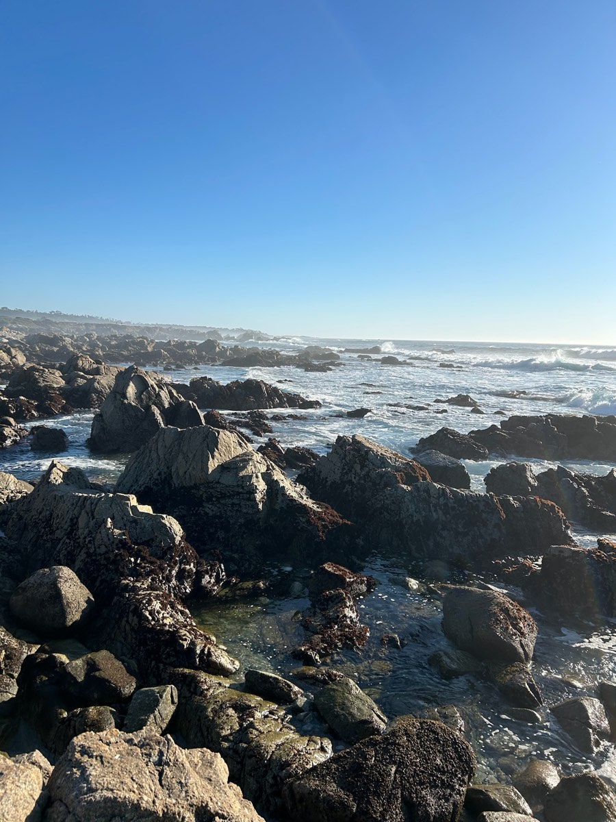
I didn’t hike much every time I went to Monterey and Carmel, but I’m sure there are many trails to explore, given how gorgeous the area is. When my friend and I drove down to Big Sur, we would just stop at random spots we found on Google Maps, and every spot was a gem.
Fallen Leaf Lake, South Lake Tahoe (November 2025)
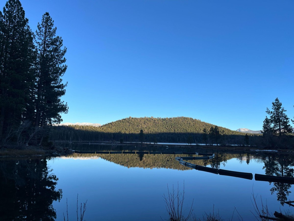
There are countless trails around Lake Tahoe. We chose the Fallen Leaf Lake Trail, a short but beautiful hike with views of the lake and surrounding mountains. Tahoe is also one of the few places nearby where you can really experience the seasons: when we visited in winter, we could see snow dusting the mountains in the distance.
Almaden Quicksilver County Park (May 2026)
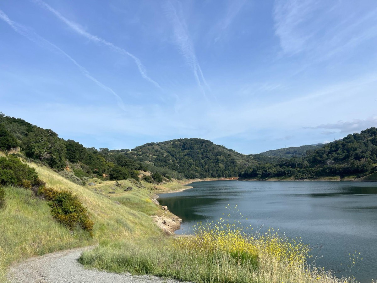
Almaden Quicksilver County Park is near Saratoga and is very representative of a typical Bay Area hiking destination, with a mix of meadows, deep valleys, and a reservoir and its surrounding creeks and rivers. There are some uphills but overall there aren’t any steep steps. There are also plenty of shades if you go on a sunny day.
Castle Rock State Park (July 2025)
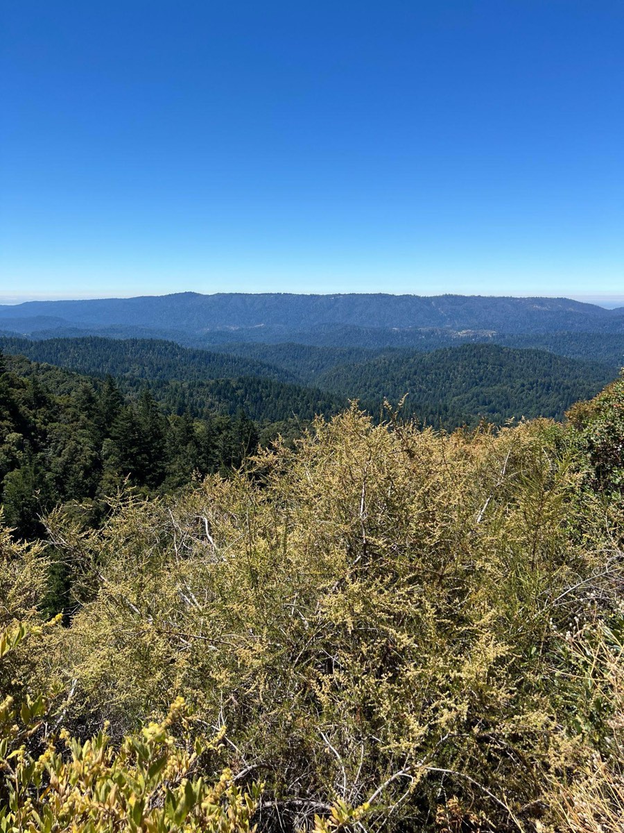
Castle Rock State Park is somewhere in the Santa Cruz Mountains and it’s fairly close to Saratoga. The complete hike was around 5-6 miles, and it took us 2 hours. There was a good variety of views throughout the hike, and the most classic ones were of course the rocks that gave the park its name.
Stevens Creek Park (April 2026)
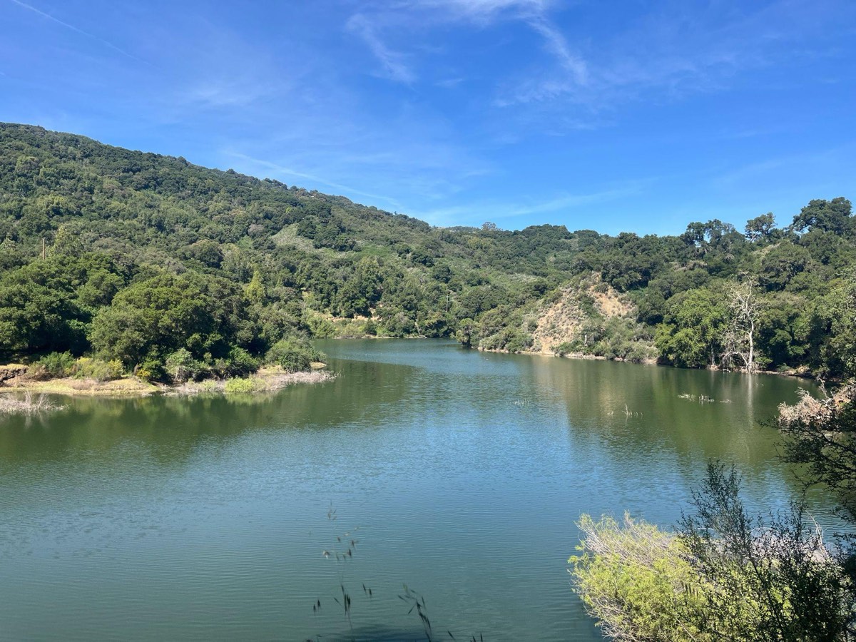
Stevens Creek is just in Santa Clara and is under half an hour away from Stanford. My friend and I went here on a trail run with the Stanford running club. The trail we did was around 10 miles, and I remember there being some uphills that made it painful to run, but the uphills also afforded some beautiful views of the creek and forests in the park.
Honorable Mentions
Lake Lagunita
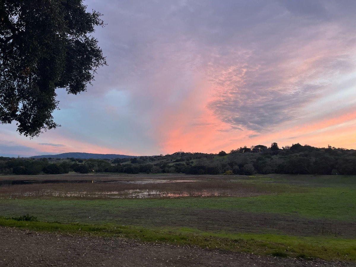
Stanford’s Lake Lagunita would fill up in rainy seasons and is otherwise a dry pit, but it’s a nice hiking spot all-year-round, especially if you want to control how long you hike for (you can just keep looping if you don’t want to leave).
Mori Point (February 2024)
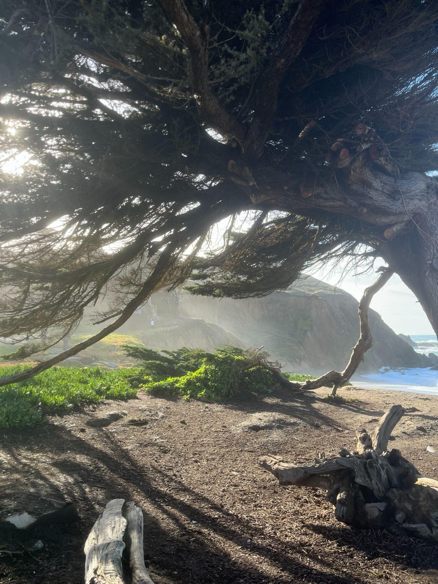
Mori Point is very close to Pacifica and is around a 40-minute drive from the Stanford campus. It has one of the highest view-to-strenuousness ratios, with beautiful views of the ocean. The trail I hiked was under 3 miles and can be easily completed in an hour; the trail is also extremely flat. It’s a great place to watch the sunset, and the trail also provides direct access to the beach.
The Dish
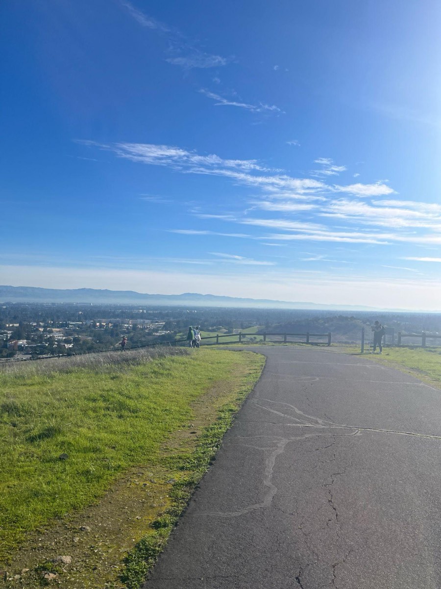
The Dish is right by the Stanford campus and is a very popular hiking spot in Palo Alto. There are two loops, one is around 3 miles, and the other one is slightly shorter. I’ve never hiked it but ran it a couple of times with my friend. The view is amazing when the sky is clear, and you can even get a view of East Bay (if I remember correctly).
Windy Hill Preserve (June 2024)
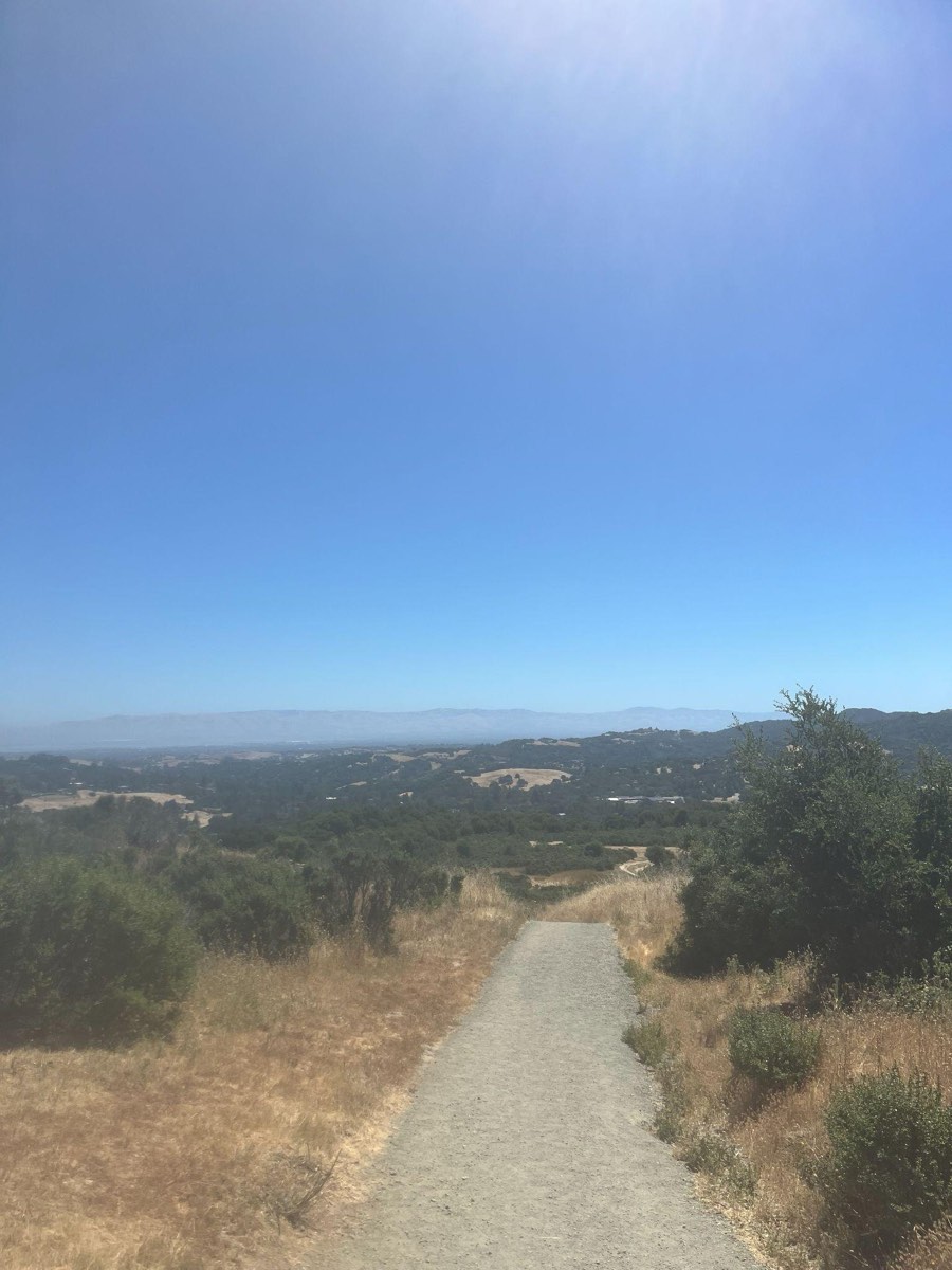
I hiked Windy Hill twice, both in 2024. It’s very close to Stanford (15-minute drive) and is similar to the Dish in terms of the view you can expect. It is slightly longer than the Dish, and the full hike can take up to two hours.
Mission Peak (August 2024)
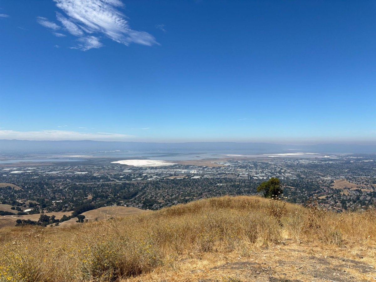
I am personally not a big fan of Mission Peak. Out of all the hikes I’ve done, it has the lowest view-to-strenuousness ratio. The hike is strictly uphill, and the last bit was especially steep. There’s little shade throughout the hike, so it would be even harder to hike on a very sunny day (make sure to stay hydrated!). It’s around 5-6 miles, and most people head down the same way they went up, so the view can be repetitive. It is the right hike if you are looking for a good workout and some sweats.
Twin Peaks (August 2024)
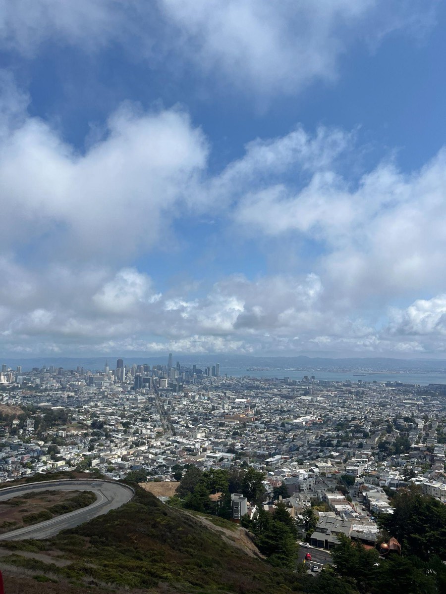
I hiked Twin Peaks during the day and, honestly, found it a little underwhelming. There is not much hiking to do, and much of the trail runs right alongside the road. It may be better suited to a nighttime drive than a daytime hike, though it is one of the few places in San Francisco with such a lovely panoramic city view—the city’s own La La Land moment.
Land’s End (January 2025)
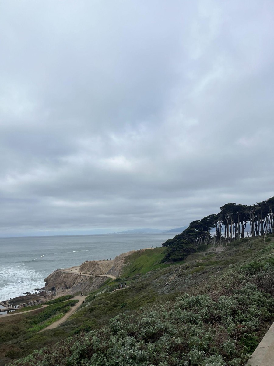
Land’s End is a short trail west of the Golden Gate Bridge. It’s one of the best trails to get the bridge view.
Point Reyes (June 2025)
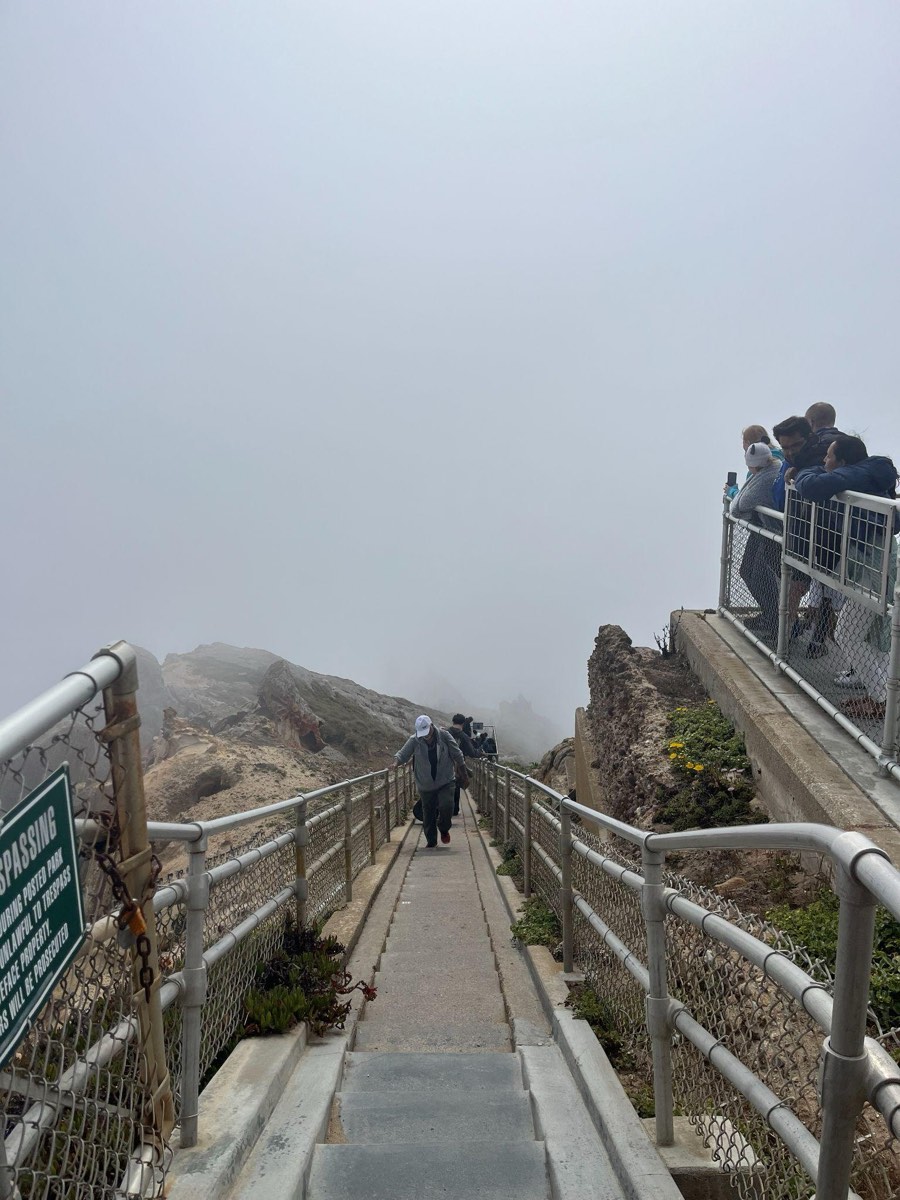
Point Reyes is north of the bridge and is around a 2-hour drive from the Stanford campus. We went to see the Point Reyes Lighthouse but barely saw anything but the fog (see the picture above). The trail is really short but features long stairs down to the lighthouse. It offers a stunning 360-degree view of the coast. I would definitely recommend going on a sunny day.
Pacifica (August 2025)
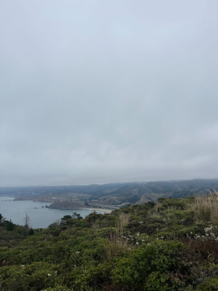
At Pacifica there’s a niche trail with the trailhead right next to the highway. I would not have known it existed if not for my friends who lived in the outdoor house. The hike itself is pretty short (maybe two miles), and it ultimately leads to a lookout of Pacifica.
Marin Headlands (January 2026)
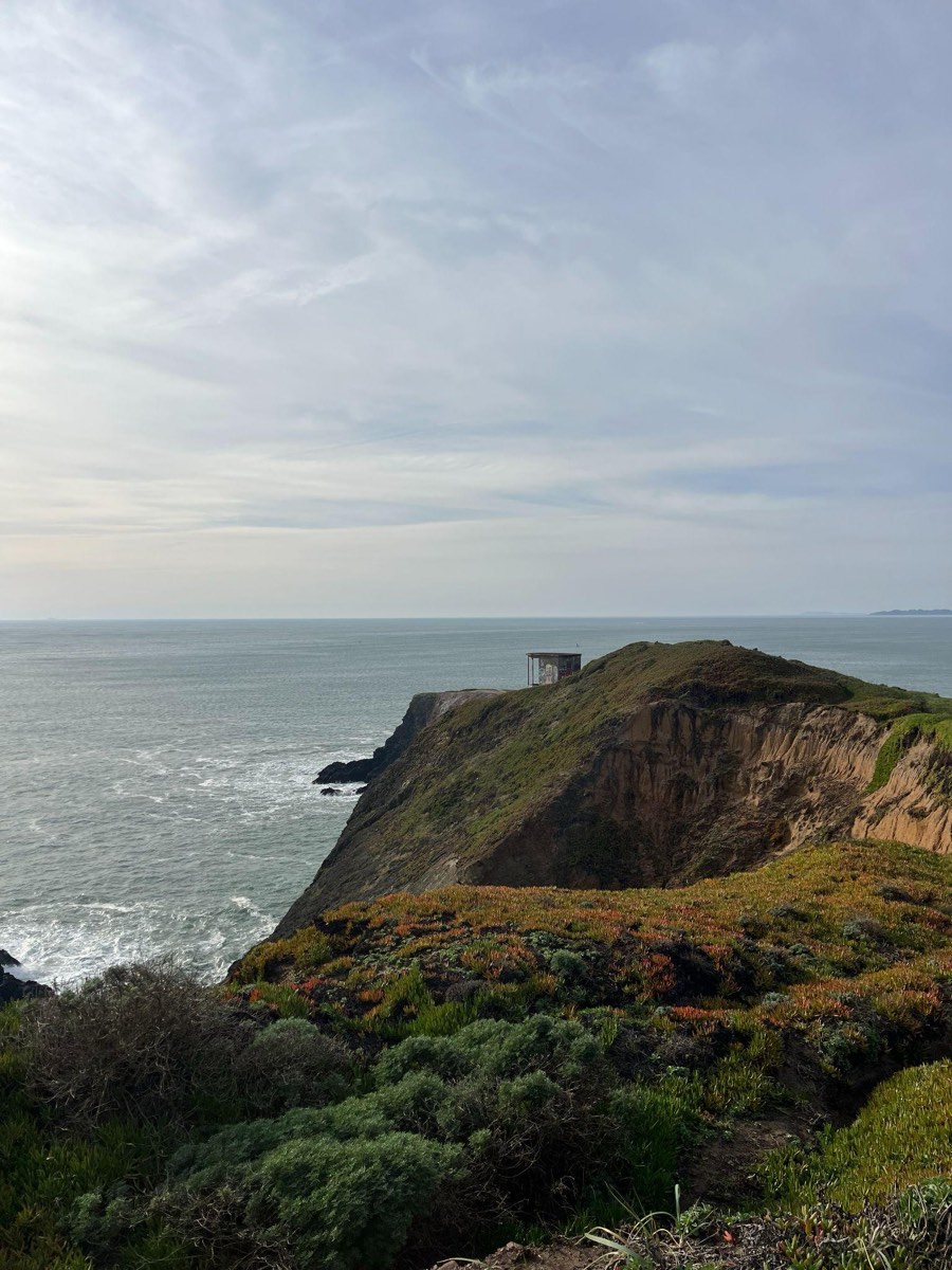
Marin Headlands is north of the bridge and is another place that offers breathtaking views of the coast. The trail was short and sweet, and it immediately took us from the parking lot to the cliff. It can get windy up there so remember to bring some layers!
San Luis Reservoir, Gustine (February 2026)
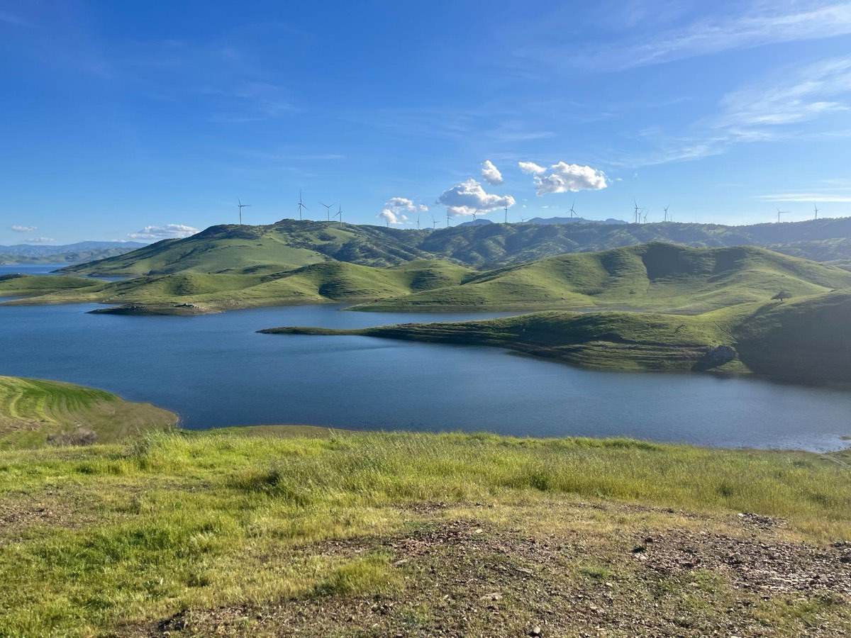
My friend and I randomly stumbled upon the San Luis Reservoir on the drive from the Bay to LA, but we were immediately captivated by the view and had to get out of the car to enjoy the beauty. We didn’t explore any trails and just walked around the lookout points, but I’m sure there are many in this area worth checking out!
Andrew Molera State Park (March 2026)

Andrew Molera State Park is somewhere in Big Sur and is “relatively undeveloped,” according to Wikipedia. It’s pretty accurate given that we had to walk through some overgrown bushes. We also saw this little wildcat on the way back.
In my Stanford roommate essay, I wrote that I hoped to spend weekends hiking along the coast. Looking back, I feel incredibly lucky that this small wish became real. The drives, the ocean, the mountains, creeks, rivers, and lakes—and, most of all, the laughter and conversations that accompanied them—became some of the simplest joys in life.